METAR-TAF
Airports :
Memanbetsu Airport
Memanbetsu, Japan
latitude: 43-53N, longitude: 144-10E, elevation: 33 m
Current weather observation
The report was made 52 minutes ago, at 05:00 UTC
Wind 8 kt from the East/Northeast
Temperature 4°C
Humidity 56%
Pressure 1010 hPa
Visibility 10 km or more
no clouds below 1500 m and no cumulonimbus
METAR: RJCM 200500Z 06008KT CAVOK 04/M04 Q1010
Time: 14:52 (05:52 UTC)
Forecast
The report was made 47 minutes ago, at 05:05 UTC
Forecast valid from 20 at 06 UTC to 21 at 12 UTC
Wind 6 kt from the East/Northeast
Visibility 10 km or more
Few clouds at a height of 3000 ft
Becoming
from 20 at 09 UTC to 20 at 11 UTC
from 20 at 09 UTC to 20 at 11 UTC
Wind 10 kt from the South
Becoming
from 20 at 18 UTC to 20 at 21 UTC
from 20 at 18 UTC to 20 at 21 UTC
Wind 12 kt from the North
Temporary
from 20 at 21 UTC to 21 at 03 UTC
from 20 at 21 UTC to 21 at 03 UTC
Visibility: 0700 m
at a height of 500 ft
snow showers
Temporary
from 21 at 03 UTC to 21 at 09 UTC
from 21 at 03 UTC to 21 at 09 UTC
Wind 18 kt from the North/Northwest with gusts up to 28 kt
Visibility: 2000 m
Few clouds at a height of 500 ft
Broken clouds at a height of 800 ft
Broken clouds at a height of 800 ft
light snow showers
TAF: RJCM 200505Z 2006/2112 06006KT 9999 FEW030 BECMG 2009/2011 17010KT BECMG 2018/2021 35012KT TEMPO 2021/2103 0700 SHSN VV005 TEMPO 2103/2109 33018G28KT 2000 -SHSN FEW005 BKN008
Weather observations and forecasts of more than 4000 airports (METAR and TAF reports).
The available stations are represented by yellow and red dots on the map.
Hover mouse over dot to see the name of the station.
Then click to see weather observations and forecasts.
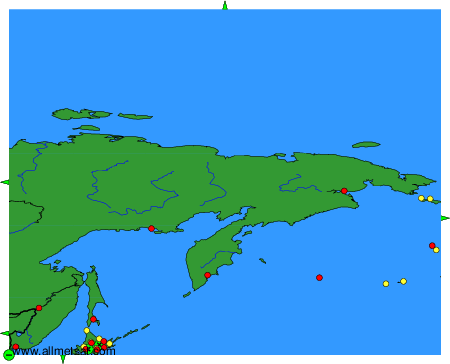
To change the map : click on the green buttons with a black cross to zoom in, on the green button with a dash to zoom out, or on the green arrows for adjacent maps.