METAR-TAF
Airports :
Nakashibetsu Airport
Nakashibetsu, Japan
latitude: 43-34N, longitude: 144-58E, elevation: 66 m
Current weather observation
The report was made 1 hour and 6 minutes ago, at 02:00 UTC
Wind 7 kt from the Northeast
Temperature 11°C
Humidity 100%
Pressure 1016 hPa
Visibility: 2300 m
Few clouds at a height of 100 ft
Broken clouds at a height of 200 ft
Broken clouds at a height of 300 ft
Broken clouds at a height of 200 ft
Broken clouds at a height of 300 ft
light rain showers, patches of fog, mist
METAR: RJCN 210200Z 04007KT 2300 -SHRA BCFG BR FEW001 BKN002 BKN003 11/11 Q1016
Time: 12:06 (03:06 UTC)
TAF: missing
Weather observations and forecasts of more than 4000 airports (METAR and TAF reports).
The available stations are represented by yellow and red dots on the map.
Hover mouse over dot to see the name of the station.
Then click to see weather observations and forecasts.
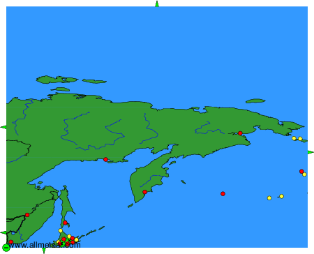
To change the map : click on the green buttons with a black cross to zoom in, on the green button with a dash to zoom out, or on the green arrows for adjacent maps.