METAR-TAF
Airports :
Asahikawa Airport
Asahikawa, Japan
latitude: 43-40N, longitude: 142-27E, elevation: 208 m
Current weather observation
The report was made 33 minutes ago, at 21:00 UTC
Wind 5 kt from the South
Temperature 16°C
Humidity 94%
Pressure 1017 hPa
Visibility 10 km or more
METAR: RJEC 022100Z AUTO 17005KT 9999 NCD 16/15 Q1017
Time: 06:33 (21:33 UTC)
Forecast
The report was made 4 hours and 28 minutes ago, at 17:05 UTC
Forecast valid from 02 at 18 UTC to 04 at 00 UTC
Wind 6 kt from the South
Visibility 10 km or more
Few clouds at a height of 3000 ft
Becoming
from 02 at 23 UTC to 03 at 01 UTC
from 02 at 23 UTC to 03 at 01 UTC
Wind 6 kt from the North/Northwest
Becoming
from 03 at 09 UTC to 03 at 12 UTC
from 03 at 09 UTC to 03 at 12 UTC
Wind 6 kt from the South
TAF: RJEC 021705Z 0218/0400 17006KT 9999 FEW030 BECMG 0223/0301 33006KT BECMG 0309/0312 17006KT
Weather observations and forecasts of more than 4000 airports (METAR and TAF reports).
The available stations are represented by yellow and red dots on the map.
Hover mouse over dot to see the name of the station.
Then click to see weather observations and forecasts.
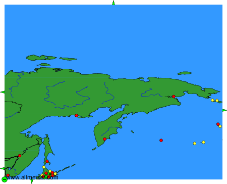
To change the map : click on the green buttons with a black cross to zoom in, on the green button with a dash to zoom out, or on the green arrows for adjacent maps.