METAR-TAF
Airports :
Vladivostok International Airport
Vladivostok, Russia
latitude: 43-07N, longitude: 131-56E, elevation: 184 m
Current weather observation
The report was made 20 minutes ago, at 17:00 UTC
Wind 4 kt from the East/Northeast
Temperature 12°C
Humidity 94%
Pressure 1008 hPa
Visibility 10 km or more
METAR: UHWW 111700Z 07002MPS 9999 NSC 12/11 Q1008 R25L/0///72 NOSIG RMK QFE755
Time: 03:20 (17:20 UTC)
Forecast
The report was made 3 hours and 30 minutes ago, at 13:50 UTC
Forecast valid from 11 at 15 UTC to 12 at 15 UTC
Wind 6 kt from the East
Visibility: 6000 m
Few clouds at a height of 300 ft
Scattered clouds at a height of 2000 ft
Scattered clouds at a height of 2000 ft
Temporary
from 11 at 15 UTC to 11 at 24 UTC
from 11 at 15 UTC to 11 at 24 UTC
Wind 2 kt from variable directions
Visibility: 0200 m
at a height of 100 ft
fog
From 12 at 0100 UTC
Wind 6 kt from the South/Southwest with gusts up to 17 kt
Visibility 10 km or more
Scattered clouds at a height of 2000 ft, Cumulonimbus.
TAF: UHWW 111350Z 1115/1215 08003MPS 6000 FEW003 SCT020 TEMPO 1115/1124 VRB01MPS 0200 FG VV001 FM120100 20003G09MPS 9999 SCT020CB
Weather observations and forecasts of more than 4000 airports (METAR and TAF reports).
The available stations are represented by yellow and red dots on the map.
Hover mouse over dot to see the name of the station.
Then click to see weather observations and forecasts.
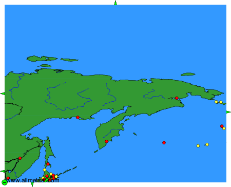
To change the map : click on the green buttons with a black cross to zoom in, on the green button with a dash to zoom out, or on the green arrows for adjacent maps.