METAR-TAF
Airports :
Haifa Airport
Haifa, Israel
latitude: 32-48N, longitude: 035-02E, elevation: 8 m
Current weather observation
The report was made 5 hours and 9 minutes ago, at 18:50 UTC
Wind 9 kt from the West/Southwest
Temperature 21°C
Humidity 64%
Pressure 1010 hPa
Visibility 10 km or more
Few clouds at a height of 2700 ft
METAR: LLHA 201850Z AUTO 25009KT 9999 FEW027 21/14 Q1010
Time: 02:59 (23:59 UTC)
Forecast
The report was made 1 hour and 0 minutes ago, at 22:59 UTC
Forecast valid from 21 at 00 UTC to 21 at 24 UTC
Wind 10 kt from the West/Southwest
Visibility 10 km or more
Scattered clouds at a height of 3000 ft
Temporary
from 21 at 00 UTC to 21 at 15 UTC
from 21 at 00 UTC to 21 at 15 UTC
Wind 15 kt from the West/Southwest
Visibility: 8000 m
Broken clouds at a height of 2500 ft
rain
TAF: LLHA 202259Z 2100/2124 25010KT 9999 SCT030 TX23/2111Z TN19/2103Z TEMPO 2100/2115 25015KT 8000 RA BKN025
Weather observations and forecasts of more than 4000 airports (METAR and TAF reports).
The available stations are represented by yellow and red dots on the map.
Hover mouse over dot to see the name of the station.
Then click to see weather observations and forecasts.
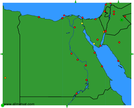
To change the map : click on the green buttons with a black cross to zoom in, on the green button with a dash to zoom out, or on the green arrows for adjacent maps.