METAR-TAF
Airports :
Eloy Alfaro International Airport
Manta, Ecuador
latitude: 00-57S, longitude: 080-41W, elevation: 13 m
Current weather observation
The report was made 9 minutes ago, at 16:00 UTC
Wind 6 kt from the North/Northwest, varying between West/Northwest and North/Northeast
Temperature 30°C
Humidity 66%
Pressure 1011 hPa
Visibility 10 km or more
Scattered clouds at a height of 2300 ft
METAR: SEMT 251600Z 33006KT 300V020 9999 SCT023 30/23 Q1011 RMK A2987
Time: 11:09 (16:09 UTC)
Forecast
The report was made 4 hours and 59 minutes ago, at 11:10 UTC
Forecast valid from 25 at 12 UTC to 26 at 12 UTC
Wind 4 kt from the East/Southeast
Visibility 10 km or more
Broken clouds at a height of 2000 ft
Becoming
from 25 at 15 UTC to 25 at 17 UTC
from 25 at 15 UTC to 25 at 17 UTC
Wind 9 kt from the West/Northwest
Scattered clouds at a height of 3000 ft
Broken clouds at a height of 10000 ft
Broken clouds at a height of 10000 ft
Becoming
from 25 at 23 UTC to 26 at 01 UTC
from 25 at 23 UTC to 26 at 01 UTC
Wind 6 kt from the South/Southwest
Becoming
from 26 at 02 UTC to 26 at 04 UTC
from 26 at 02 UTC to 26 at 04 UTC
Broken clouds at a height of 2000 ft
TAF: SEMT 251110Z 2512/2612 11004KT 9999 BKN020 BECMG 2515/2517 29009KT SCT030 BKN100 BECMG 2523/2601 21006KT BECMG 2602/2604 BKN020 TX29/2520Z TN23/2610Z
Weather observations and forecasts of more than 4000 airports (METAR and TAF reports).
The available stations are represented by yellow and red dots on the map.
Hover mouse over dot to see the name of the station.
Then click to see weather observations and forecasts.
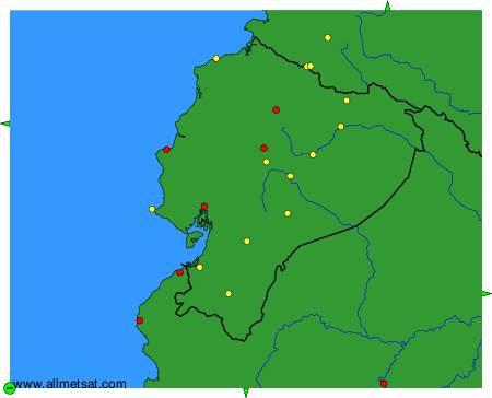
To change the map : click on the green buttons with a black cross to zoom in, on the green button with a dash to zoom out, or on the green arrows for adjacent maps.