METAR-TAF
Airports :
San Luis Airport
Ipiales, Colombia
latitude: 00-49N, longitude: 077-38W, elevation: 2961 m
Current weather observation
The report was made 12 minutes ago, at 22:00 UTC
Wind 7 kt from the East/Southeast, varying between East/Northeast and South/Southeast
Temperature 15°C
Humidity 82%
Pressure 1029 hPa
Visibility 10 km or more
Scattered clouds at a height of 2500 ft
METAR: SKIP 312200Z 11007KT 070V150 9999 SCT025 15/12 Q1029
Time: 17:12 (22:12 UTC)
TAF: missing
Weather observations and forecasts of more than 4000 airports (METAR and TAF reports).
The available stations are represented by yellow and red dots on the map.
Hover mouse over dot to see the name of the station.
Then click to see weather observations and forecasts.
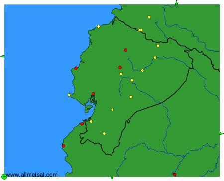
To change the map : click on the green buttons with a black cross to zoom in, on the green button with a dash to zoom out, or on the green arrows for adjacent maps.