METAR-TAF
Airports :
Cap. FAP Pedro Canga Rodríguez Airport
Tumbes, Peru
latitude: 03-33S, longitude: 080-24W, elevation: 25 m
Current weather observation
The report was made 3 hours and 25 minutes ago, at 03:00 UTC
Wind 6 kt from the West
Temperature 26°C
Humidity 89%
Pressure 1015 hPa
Visibility 10 km or more
Scattered clouds at a height of 2000 ft
METAR: SPME 090300Z 26006KT 9999 SCT020 26/24 Q1015 RMK BIRD HAZARD RWY 32/14 PP000
Time: 01:25 (06:25 UTC)
Forecast
The report was made 7 hours and 23 minutes ago, at 23:02 UTC
Forecast valid from 09 at 00 UTC to 09 at 24 UTC
Wind 7 kt from the West/Northwest
Visibility 10 km or more
Broken clouds at a height of 2000 ft
Temporary
from 09 at 09 UTC to 09 at 13 UTC
from 09 at 09 UTC to 09 at 13 UTC
Broken clouds at a height of 1200 ft
rain
TAF: SPME 082302Z 0900/0924 30007KT 9999 BKN020 TX30/0919Z TN24/0910Z TEMPO 0909/0913 RA BKN012
Weather observations and forecasts of more than 4000 airports (METAR and TAF reports).
The available stations are represented by yellow and red dots on the map.
Hover mouse over dot to see the name of the station.
Then click to see weather observations and forecasts.
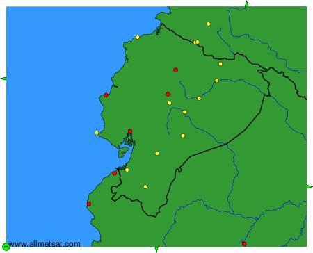
To change the map : click on the green buttons with a black cross to zoom in, on the green button with a dash to zoom out, or on the green arrows for adjacent maps.