METAR-TAF
Airports :
Ämari Air Base
Ämari, Estonia
latitude: 59-15-44N, longitude: 24-13-07E, elevation: 20 m
Current weather observation
METAR: EEEI 242350Z AUTO 16006KT 9999 SCT180/// OVC220/// 13/11 Q1007
Time: 05:03 (02:03 UTC)
Forecast
from 24 at 19 UTC to 24 at 21 UTC
from 24 at 21 UTC to 25 at 03 UTC
from 25 at 06 UTC to 25 at 08 UTC
from 25 at 07 UTC to 25 at 12 UTC
Few clouds at a height of 2000 ft, Cumulonimbus.
TAF: EEEI 241130Z 2412/2512 30010KT 9999 SCT020 BECMG 2419/2421 16006KT PROB40 TEMPO 2421/2503 1000 BCFG BKN005 BECMG 2506/2508 22013KT PROB40 TEMPO 2507/2512 4000 SHRA BKN009 FEW020CB
Weather observations and forecasts of more than 4000 airports (METAR and TAF reports).
The available stations are represented by yellow and red dots on the map.
Hover mouse over dot to see the name of the station.
Then click to see weather observations and forecasts.
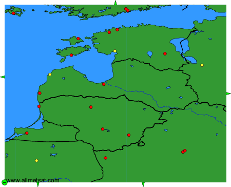
To change the map : click on the green buttons with a black cross to zoom in, on the green button with a dash to zoom out, or on the green arrows for adjacent maps.