METAR-TAF
Airports :
Kuressaare Airport
Kuressaare, Estonia
latitude: 58-13-48N, longitude: 022-30-34E, elevation: 4 m
Current weather observation
The report was made 7 minutes ago, at 13:20 UTC
Wind 9 kt from the South/Southwest
Temperature 19°C
Humidity 78%
Pressure 1019 hPa
Visibility 10 km or more
METAR: EEKE 291320Z AUTO 21009KT 9999 FEW032/// 19/15 Q1019
Time: 16:27 (13:27 UTC)
Forecast
The report was made 2 hours and 27 minutes ago, at 11:00 UTC
Forecast valid from 29 at 12 UTC to 29 at 21 UTC
Wind 10 kt from the Southwest
Visibility 10 km or more
Few clouds at a height of 3500 ft
Probability 40% :
Temporary
from 29 at 19 UTC to 29 at 21 UTC
from 29 at 19 UTC to 29 at 21 UTC
Visibility: 3000 m
Broken clouds at a height of 500 ft
mist
TAF: EEKE 291100Z 2912/2921 23010KT 9999 FEW035 PROB40 TEMPO 2919/2921 3000 BR BKN005
Weather observations and forecasts of more than 4000 airports (METAR and TAF reports).
The available stations are represented by yellow and red dots on the map.
Hover mouse over dot to see the name of the station.
Then click to see weather observations and forecasts.
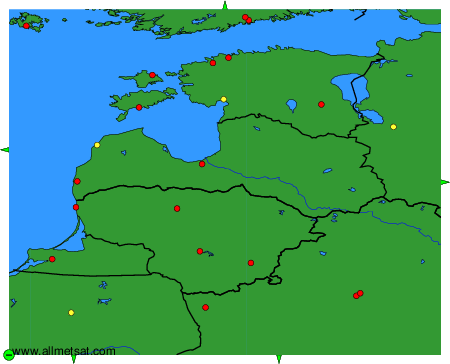
To change the map : click on the green buttons with a black cross to zoom in, on the green button with a dash to zoom out, or on the green arrows for adjacent maps.