METAR-TAF
Airports :
Tallinn Airport
Tallinn, Estonia
latitude: 59-23N, longitude: 024-35E, elevation: 44 m
Current weather observation
METAR: EETN 021750Z 25011KT CAVOK 18/09 Q1016 NOSIG
Time: 20:58 (17:58 UTC)
Forecast
from 02 at 18 UTC to 02 at 20 UTC
Few clouds at a height of 3500 ft, Cumulonimbus.
from 02 at 20 UTC to 02 at 22 UTC
from 03 at 01 UTC to 03 at 05 UTC
from 03 at 08 UTC to 03 at 13 UTC
from 03 at 10 UTC to 03 at 12 UTC
TAF: EETN 021730Z 0218/0318 26012KT 9999 SCT040 TEMPO 0218/0220 SCT020 FEW035CB BECMG 0220/0222 20007KT PROB40 TEMPO 0301/0305 2000 BR BKN004 TEMPO 0308/0313 FEW035CB BECMG 0310/0312 29010KT
Weather observations and forecasts of more than 4000 airports (METAR and TAF reports).
The available stations are represented by yellow and red dots on the map.
Hover mouse over dot to see the name of the station.
Then click to see weather observations and forecasts.
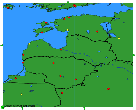
To change the map : click on the green buttons with a black cross to zoom in, on the green button with a dash to zoom out, or on the green arrows for adjacent maps.