METAR-TAF
Airports :
Turku Airport
Turku, Finland
latitude: 60-31N, longitude: 022-16E, elevation: 49 m
Current weather observation
The report was made 32 minutes ago, at 09:20 UTC
Wind 14 kt from the Southwest
Temperature 19°C
Humidity 49%
Pressure 1011 hPa
Visibility 10 km or more
no clouds below 1500 m and no cumulonimbus
METAR: EFTU 010920Z AUTO 23014KT CAVOK 19/08 Q1011
Time: 12:52 (09:52 UTC)
Forecast
The report was made 1 hour and 26 minutes ago, at 08:26 UTC
Forecast valid from 01 at 09 UTC to 02 at 09 UTC
Wind 14 kt from the Southwest
Visibility 10 km or more
no clouds below 1500 m and no cumulonimbus
Becoming
from 02 at 00 UTC to 02 at 02 UTC
from 02 at 00 UTC to 02 at 02 UTC
Wind 4 kt from the South/Southwest
Visibility: 0400 m
Broken clouds at a height of 100 ft
fog
Temporary
from 02 at 02 UTC to 02 at 03 UTC
from 02 at 02 UTC to 02 at 03 UTC
Visibility: 3000 m
Few clouds at a height of 100 ft
mist
Becoming
from 02 at 03 UTC to 02 at 05 UTC
from 02 at 03 UTC to 02 at 05 UTC
Visibility 10 km or more
no clouds below 1500 m and no cumulonimbus
Becoming
from 02 at 07 UTC to 02 at 09 UTC
from 02 at 07 UTC to 02 at 09 UTC
Wind 10 kt from the West
TAF: EFTU 010826Z 0109/0209 23014KT CAVOK BECMG 0200/0202 20004KT 0400 FG BKN001 TEMPO 0202/0203 3000 BR FEW001 BECMG 0203/0205 CAVOK BECMG 0207/0209 26010KT
Weather observations and forecasts of more than 4000 airports (METAR and TAF reports).
The available stations are represented by yellow and red dots on the map.
Hover mouse over dot to see the name of the station.
Then click to see weather observations and forecasts.
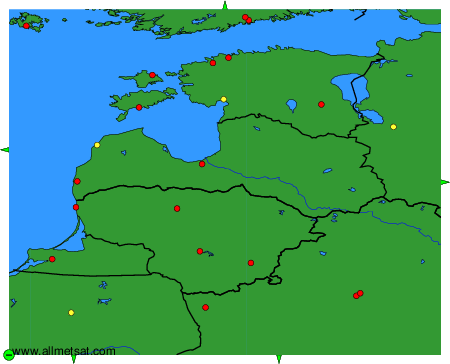
To change the map : click on the green buttons with a black cross to zoom in, on the green button with a dash to zoom out, or on the green arrows for adjacent maps.