METAR-TAF
Airports :
Liepāja International Airport
Liepāja, Latvia
latitude: 56-31N, longitude: 021-05E, elevation: 16 ft
Current weather observation
The report was made 8 minutes ago, at 10:20 UTC
Wind 14 mph from the West
Temperature 68°F
Humidity 64%
Pressure 30.09 in. Hg
Visibility 6.2 miles or more
METAR: EVLA 021020Z AUTO 27012KT 9999 NCD 20/13 Q1019
Time: 13:28 (10:28 UTC)
Forecast
The report was made 2 hours and 12 minutes ago, at 08:16 UTC
Forecast valid from 02 at 09 UTC to 03 at 09 UTC
Wind 9 mph from the West/Southwest
Visibility 6.2 miles or more
no clouds below 1500 m and no cumulonimbus
Temporary
from 02 at 20 UTC to 03 at 04 UTC
from 02 at 20 UTC to 03 at 04 UTC
Visibility: 2297 ft
Broken clouds at a height of 100 ft
fog
TAF: EVLA 020816Z 0209/0309 25008KT CAVOK TEMPO 0220/0304 0700 FG BKN001
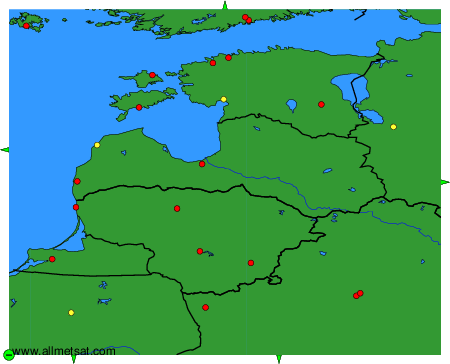
Weather observations and forecasts of more than 4000 airports (METAR and TAF reports).
The available stations are represented by yellow and red dots on the map.
Hover mouse over dot to see the name of the station.
Then click to see weather observations and forecasts.
To change the map : click on the green buttons with a black cross to zoom in, on the green button with a dash to zoom out, or on the green arrows for adjacent maps.