METAR-TAF
Airports :
Šiauliai International Airport
Šiauliai, Lithuania
latitude: 55-53-38N, longitude: 023-23-42E, elevation: 443 ft
Current weather observation
The report was made 31 minutes ago, at 17:50 UTC
Wind 16 mph from the West
Temperature 59°F
Humidity 77%
Pressure 29.62 in. Hg
Visibility 6.2 miles or more
Few clouds at a height of 1200 ft
Scattered clouds at a height of 5700 ft
Scattered clouds at a height of 5700 ft
METAR: EYSA 271750Z 27014KT 9999 FEW012 SCT057 15/11 Q1003 NOSIG
Time: 21:21 (18:21 UTC)
Forecast
The report was made 4 hours and 14 minutes ago, at 14:07 UTC
Forecast valid from 27 at 15 UTC to 27 at 24 UTC
Wind 12 mph from the West/Southwest
Visibility: 29527 ft
Broken clouds at a height of 2000 ft
Temporary
from 27 at 15 UTC to 27 at 18 UTC
from 27 at 15 UTC to 27 at 18 UTC
Wind 23 mph from variable directions
Visibility: 16404 ft
Broken clouds at a height of 1000 ft
Broken clouds at a height of 2000 ft, Cumulonimbus.
Broken clouds at a height of 2000 ft, Cumulonimbus.
thunderstorm, rain
Becoming
from 27 at 18 UTC to 27 at 20 UTC
from 27 at 18 UTC to 27 at 20 UTC
Scattered clouds at a height of 2000 ft
TAF: EYSA 271407Z 2715/2724 24010KT 9000 BKN020 TEMPO 2715/2718 VRB20KT 5000 TSRA BKN010 BKN020CB BECMG 2718/2720 SCT020
Weather observations and forecasts of more than 4000 airports (METAR and TAF reports).
The available stations are represented by yellow and red dots on the map.
Hover mouse over dot to see the name of the station.
Then click to see weather observations and forecasts.
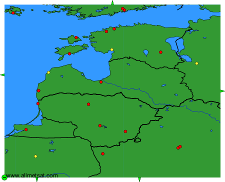
To change the map : click on the green buttons with a black cross to zoom in, on the green button with a dash to zoom out, or on the green arrows for adjacent maps.