METAR-TAF
Airports :
Khrabrovo Airport
Kaliningrad, Russia
latitude: 54-43-12N, longitude: 020-30E, elevation: 21 m
Current weather observation
METAR: UMKK 311100Z 32006MPS 280V350 CAVOK 23/18 Q1014 R24/CLRD63 NOSIG RMK QFE759/1013
Time: 13:30 (11:30 UTC)
Forecast
Scattered clouds at a height of 1600 ft
from 31 at 15 UTC to 31 at 21 UTC
from 31 at 18 UTC to 31 at 21 UTC
from 31 at 21 UTC to 01 at 03 UTC
Overcast at a height of 600 ft
from 01 at 03 UTC to 01 at 10 UTC
Broken clouds at a height of 1600 ft, Cumulonimbus.
TAF: UMKK 311052Z 3112/0112 30006G11MPS 6000 FEW006 SCT016 TEMPO 3115/3121 BKN005 BECMG 3118/3121 VRB01MPS TEMPO 3121/0103 1000 BR BKN003 OVC006 TEMPO 0103/0110 1500 TSRA BR BKN004 BKN016CB
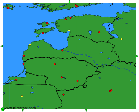
Weather observations and forecasts of more than 4000 airports (METAR and TAF reports).
The available stations are represented by yellow and red dots on the map.
Hover mouse over dot to see the name of the station.
Then click to see weather observations and forecasts.
To change the map : click on the green buttons with a black cross to zoom in, on the green button with a dash to zoom out, or on the green arrows for adjacent maps.