METAR-TAF
Airports :
Addis Ababa Bole International Airport
Addis Ababa, Ethiopia
latitude: 08-59N, longitude: 038-48E, elevation: 2355 m
Current weather observation
The report was made 1 hour and 18 minutes ago, at 22:00 UTC
Wind 6 kt from the East/Southeast
Temperature 15°C
Humidity 82%
Pressure 1026 hPa
Visibility 10 km or more
Scattered clouds at a height of 2400 ft
METAR: HAAB 032200Z 11006KT 9999 SCT024 15/12 Q1026 NOSIG
Time: 02:18 (23:18 UTC)
Forecast
The report was made 13 hours and 48 minutes ago, at 09:30 UTC
Forecast valid from 03 at 12 UTC to 04 at 18 UTC
Wind 5 kt from the South/Southeast
Visibility: 8000 m
Broken clouds at a height of 2500 ft
Scattered clouds at a height of 7000 ft
Scattered clouds at a height of 7000 ft
Becoming
from 03 at 13 UTC to 03 at 19 UTC
from 03 at 13 UTC to 03 at 19 UTC
Visibility: 5000 m
Few clouds at a height of 2300 ft
thunderstorm, rain
TAF: HAAB 030930Z 0312/0418 15005KT 8000 -BR/-RA BKN025 SCT070 BECMG 0313/0319 5000 TSRA FEW023 CB
Weather observations and forecasts of more than 4000 airports (METAR and TAF reports).
The available stations are represented by yellow and red dots on the map.
Hover mouse over dot to see the name of the station.
Then click to see weather observations and forecasts.
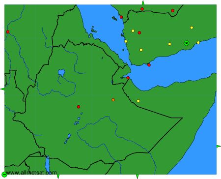
To change the map : click on the green buttons with a black cross to zoom in, on the green button with a dash to zoom out, or on the green arrows for adjacent maps.