METAR-TAF
Airports :
Aba Tenna Dejazmach Yilma International Airport
Dire Dawa, Ethiopia
latitude: 09-36N, longitude: 041-52E, elevation: 1146 m
METAR: missing
Time: 08:31 (05:31 UTC)
Forecast
The report was made 2 hours and 1 minutes ago, at 03:30 UTC
Forecast valid from 27 at 06 UTC to 28 at 12 UTC
Wind 6 kt from the West/Southwest
Visibility: 9000 m
Few clouds at a height of 2000 ft
Broken clouds at a height of 6000 ft
Broken clouds at a height of 6000 ft
(light) mist
TAF: HADR 270330Z 2706/2812 24006KT 9000 -BR FEW020 BKN060
Weather observations and forecasts of more than 4000 airports (METAR and TAF reports).
The available stations are represented by yellow and red dots on the map.
Hover mouse over dot to see the name of the station.
Then click to see weather observations and forecasts.
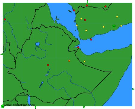
To change the map : click on the green buttons with a black cross to zoom in, on the green button with a dash to zoom out, or on the green arrows for adjacent maps.