METAR-TAF
Airports :
Maya-Maya Airport
Brazzaville, Congo
latitude: 04-15S, longitude: 015-15E, elevation: 319 m
Current weather observation
The report was made 1 hour and 9 minutes ago, at 05:00 UTC
Wind 3 kt from the West
Temperature 19°C
Humidity 88%
Pressure 1016 hPa
Visibility: 9000 m
METAR: FCBB 230500Z 26003KT 9000 NSC 19/17 Q1016 NOSIG
Time: 07:09 (06:09 UTC)
Forecast
The report was made 7 hours and 9 minutes ago, at 23:00 UTC
Forecast valid from 23 at 00 UTC to 24 at 06 UTC
Wind 5 kt from the West/Southwest
Visibility: 7000 m
Scattered clouds at a height of 1600 ft
Probability 40%
from 23 at 05 UTC to 23 at 07 UTC
from 23 at 05 UTC to 23 at 07 UTC
Visibility: 4000 m
mist,
TAF: FCBB 222300Z 2300/2406 25005KT 7000 SCT016 PROB40 2305/2307 4000 BR
Weather observations and forecasts of more than 4000 airports (METAR and TAF reports).
The available stations are represented by yellow and red dots on the map.
Hover mouse over dot to see the name of the station.
Then click to see weather observations and forecasts.
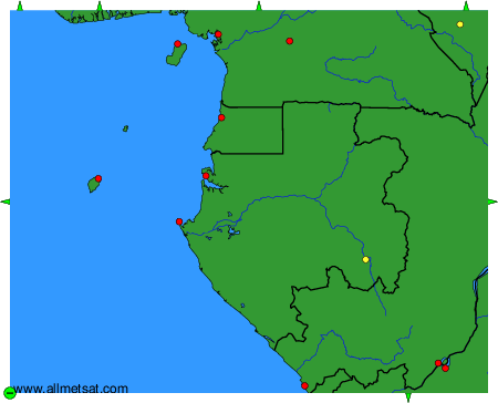
To change the map : click on the green buttons with a black cross to zoom in, on the green button with a dash to zoom out, or on the green arrows for adjacent maps.