METAR-TAF
Airports :
O. R. Tambo International Airport
Johannesburg, South Africa
latitude: 26-08S, longitude: 028-14E, elevation: 1694 m
Current weather observation
Few clouds at a height of 3500 ft, Towering cumulus.
Broken clouds at a height of 4000 ft
METAR: FAOR 221200Z 31008KT 3000 SHRA FEW018 FEW035TCU BKN040 17/16 Q1023 NOSIG
Time: 14:30 (12:30 UTC)
Forecast
Broken clouds at a height of 1500 ft
from 22 at 06 UTC to 22 at 08 UTC
Few clouds at a height of 4000 ft, Towering cumulus.
Broken clouds at a height of 2500 ft
from 22 at 10 UTC to 22 at 18 UTC
from 22 at 18 UTC to 22 at 20 UTC
from 23 at 00 UTC to 23 at 06 UTC
Few clouds at a height of 3500 ft, Cumulonimbus.
from 23 at 09 UTC to 23 at 11 UTC
from 23 at 10 UTC to 23 at 12 UTC
TAF: FAOR 220900Z 2206/2312 01012KT 9999 BKN004 BKN015 TX23/2312Z TN16/2303Z PROB40 TEMPO 2206/2208 -SHRA BKN010 FEW040TCU FM220900 34012KT 9999 BKN015 BKN025 PROB40 TEMPO 2210/2218 -TSRA FEW035CB BECMG 2218/2220 BKN008 PROB30 TEMPO 2300/2306 -TSRA BKN005 FEW035CB BECMG 2309/2311 BKN025 PROB30 TEMPO 2310/2312 TS FEW035CB
Weather observations and forecasts of more than 4000 airports (METAR and TAF reports).
The available stations are represented by yellow and red dots on the map.
Hover mouse over dot to see the name of the station.
Then click to see weather observations and forecasts.
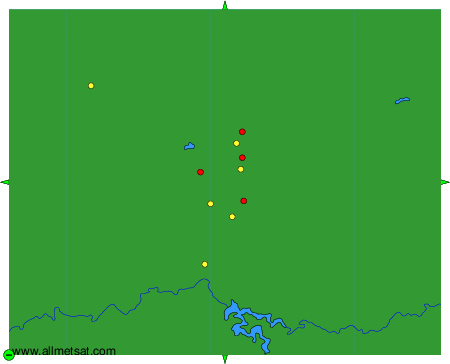
To change the map : click on the green buttons with a black cross to zoom in, on the green button with a dash to zoom out, or on the green arrows for adjacent maps.