Scattered clouds at a height of 5000 ft Scattered clouds at a height of 15000 ft
Temporary from 31 at 07 UTC to 31 at 09 UTC
Broken clouds at a height of 2000 ft
Temporary from 31 at 20 UTC to 01 at 01 UTC
Wind 17 mph from the West with gusts up to 23 mph
Visibility: 10207 ft
Scattered clouds at a height of 3000 ft, Cumulonimbus. Broken clouds at a height of 8000 ft
thunderstorm, rain
TAF: KNSE 3107/0107 VRB06KT 9999 SCT050 SCT150 QNH2990INS TEMPO 3107/3109 BKN020 TEMPO 3120/0101 27015G20KT 4800 TSRA SCT030CB BKN080 AUTOMATED SENSOR METWATCH 3107 TIL 3111 TX35/3119Z TN24/3111Z
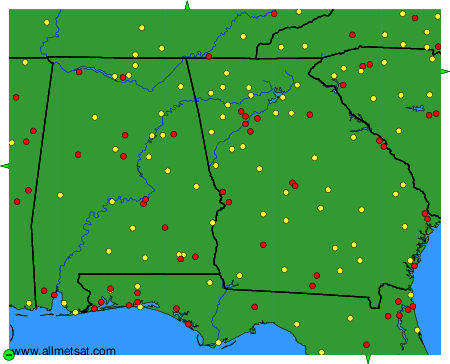
Weather observations and forecasts of more than 4000 airports (METAR and TAF reports).
The available stations are represented by yellow and red dots on the map.
Hover mouse over dot to see the name of the station.
Then click to see weather observations and forecasts.
To change the map : click on the green buttons with a black cross to zoom in, on the green button with a dash to zoom out, or on the green arrows for adjacent maps.