METAR-TAF
Airports :
Nerlerit Inaat Airport
Ittoqqortoormiit, Greenland
latitude: 70-45N, longitude: 022-39W, elevation: 14 m
METAR: missing
Time: 18:45 (18:45 UTC)
Forecast
The report was made 3 hours and 47 minutes ago, at 14:58 UTC
Forecast valid from 17 at 15 UTC to 17 at 20 UTC
Wind 12 kt from the Northwest
Visibility 10 km or more
Few clouds at a height of 20000 ft
Becoming
from 17 at 15 UTC to 17 at 17 UTC
from 17 at 15 UTC to 17 at 17 UTC
Wind 8 kt from variable directions
TAF: BGCO 171458Z 1715/1720 32012KT 9999 FEW200 BECMG 1715/1717 VRB08KT
Weather observations and forecasts of more than 4000 airports (METAR and TAF reports).
The available stations are represented by yellow and red dots on the map.
Hover mouse over dot to see the name of the station.
Then click to see weather observations and forecasts.
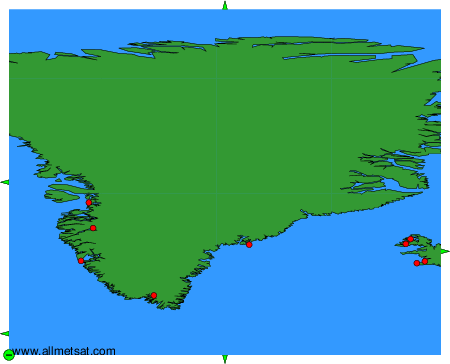
To change the map : click on the green buttons with a black cross to zoom in, on the green button with a dash to zoom out, or on the green arrows for adjacent maps.