METAR-TAF
Airports :
Nuuk Airport
Nuuk, Greenland
latitude: 64-10N, longitude: 051-45W, elevation: 80 m
Current weather observation
The report was made 11 minutes ago, at 09:20 UTC
Wind 8 kt from the South/Southwest
Temperature 5°C
Humidity 100%
Pressure 1015 hPa
Visibility: 0200 m
fog
METAR: BGGH 270920Z 21008KT 0200 R22/0375D FG VV001 05/05 Q1015
Time: 07:31 (09:31 UTC)
Forecast
The report was made 1 hour and 32 minutes ago, at 07:59 UTC
Forecast valid from 27 at 09 UTC to 28 at 09 UTC
Wind 12 kt from the South/Southwest
Visibility: 0300 m
at a height of 100 ft
fog
Becoming
from 27 at 09 UTC to 27 at 11 UTC
from 27 at 09 UTC to 27 at 11 UTC
Visibility 10 km or more
Few clouds at a height of 400 ft
Probability 40%
from 27 at 22 UTC to 28 at 09 UTC
from 27 at 22 UTC to 28 at 09 UTC
Visibility: 1200 m
Broken clouds at a height of 200 ft
patches of fog
TAF: BGGH 270759Z 2709/2809 20012KT 0300 FG VV001 BECMG 2709/2711 9999 NSW FEW004 PROB40 2722/2809 1200 BCFG BKN002
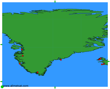
Weather observations and forecasts of more than 4000 airports (METAR and TAF reports).
The available stations are represented by yellow and red dots on the map.
Hover mouse over dot to see the name of the station.
Then click to see weather observations and forecasts.
To change the map : click on the green buttons with a black cross to zoom in, on the green button with a dash to zoom out, or on the green arrows for adjacent maps.