METAR-TAF
Airports :
Ísafjörður Airport
Ísafjörður, Iceland
latitude: 66-03-29N, longitude: 23-08-07W, elevation: 2 m
Current weather observation
The report was made 9 hours and 13 minutes ago, at 18:00 UTC
Wind 14 kt from the East/Northeast
Temperature 13°C
Humidity 54%
Pressure 1013 hPa
Visibility 10 km or more
no clouds below 1500 m and no cumulonimbus
METAR: BIIS 271800Z 06014KT CAVOK 13/04 Q1013
Time: 03:13 (03:13 UTC)
Forecast
The report was made 10 hours and 14 minutes ago, at 16:59 UTC
Forecast valid from 27 at 17 UTC to 27 at 20 UTC
Wind 12 kt from the East/Northeast
TAF: BIIS 271659Z 2717/2720 06012KT CAVOK
Weather observations and forecasts of more than 4000 airports (METAR and TAF reports).
The available stations are represented by yellow and red dots on the map.
Hover mouse over dot to see the name of the station.
Then click to see weather observations and forecasts.
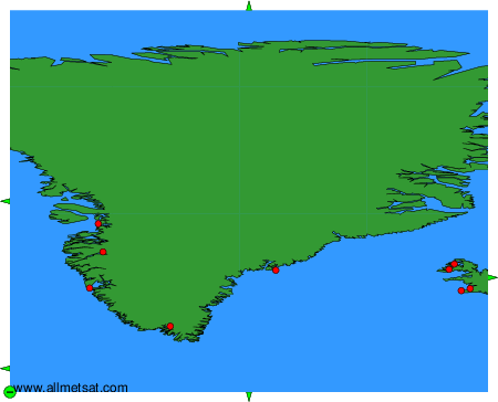
To change the map : click on the green buttons with a black cross to zoom in, on the green button with a dash to zoom out, or on the green arrows for adjacent maps.