METAR-TAF
Airports :
Reykjavík Airport
Reykjavík, Iceland
latitude: 64-08N, longitude: 021-54W, elevation: 54 m
Current weather observation
Scattered clouds at a height of 4500 ft
Broken clouds at a height of 6000 ft
METAR: BIRK 061600Z 13006KT 9999 -RA FEW038 SCT045 BKN060 14/04 Q1006
Time: 17:05 (17:05 UTC)
Forecast
from 06 at 14 UTC to 06 at 16 UTC
Broken clouds at a height of 2500 ft
from 06 at 16 UTC to 07 at 10 UTC
Overcast at a height of 2000 ft
from 07 at 10 UTC to 07 at 12 UTC
TAF: BIRK 061039Z 0612/0712 10012KT CAVOK TX16/0612Z TN08/0706Z BECMG 0614/0616 9999 -RA SCT014 BKN025 PROB40 TEMPO 0616/0710 4500 RA BR BKN014 OVC020 BECMG 0710/0712 SHRA BKN014CB
Weather observations and forecasts of more than 4000 airports (METAR and TAF reports).
The available stations are represented by yellow and red dots on the map.
Hover mouse over dot to see the name of the station.
Then click to see weather observations and forecasts.
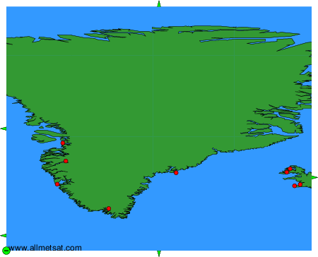
To change the map : click on the green buttons with a black cross to zoom in, on the green button with a dash to zoom out, or on the green arrows for adjacent maps.