METAR-TAF
Airports :
Quetzaltenango Airport
Quetzaltenango, Guatemala
latitude: 14-50N, longitude: 091-31W, elevation: 2500 m
Current weather observation
The report was made 21 minutes ago, at 21:00 UTC
Wind 4 kt from the East
Temperature 20°C
Humidity 78%
Pressure
Visibility 10 km or more
Scattered clouds at a height of 1800 ft
Broken clouds at a height of 8000 ft
Broken clouds at a height of 8000 ft
METAR: MGQZ 152100Z 09004KT 9999 SCT018 BKN080 20/16 QFE 773.7
Time: 15:21 (21:21 UTC)
TAF: missing
Weather observations and forecasts of more than 4000 airports (METAR and TAF reports).
The available stations are represented by yellow and red dots on the map.
Hover mouse over dot to see the name of the station.
Then click to see weather observations and forecasts.
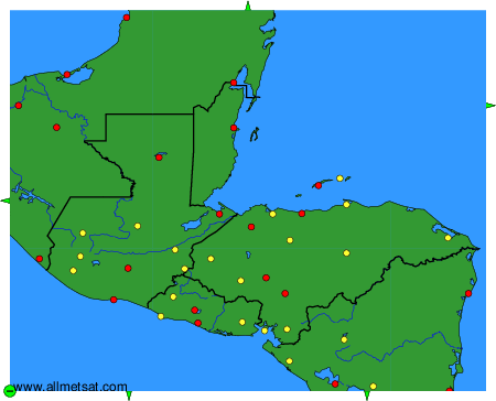
To change the map : click on the green buttons with a black cross to zoom in, on the green button with a dash to zoom out, or on the green arrows for adjacent maps.