METAR-TAF
Airports :
Tela Airport
Tela, Honduras
latitude: 15-43N, longitude: 087-29W, elevation: 3 m
Current weather observation
The report was made 4 hours and 46 minutes ago, at 04:00 UTC
Wind 7 kt from the East
Temperature 29°C
Humidity 84%
Pressure 1014 hPa
Visibility 10 km or more
Scattered clouds at a height of 2200 ft, Towering cumulus.
METAR: MHTE 280400Z 09007KT 9999 SCT022TCU 29/26 Q1014 A2994
Time: 02:46 (08:46 UTC)
TAF: missing
Weather observations and forecasts of more than 4000 airports (METAR and TAF reports).
The available stations are represented by yellow and red dots on the map.
Hover mouse over dot to see the name of the station.
Then click to see weather observations and forecasts.
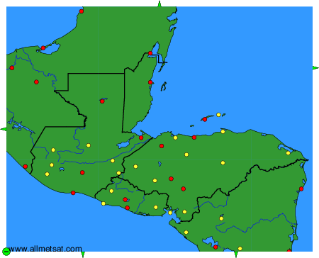
To change the map : click on the green buttons with a black cross to zoom in, on the green button with a dash to zoom out, or on the green arrows for adjacent maps.