METAR-TAF
Airports :
Puerto Cabezas Airport
Puerto Cabezas, Nicaragua
latitude: 14-03N, longitude: 083-22W, elevation: 20 m
Current weather observation
The report was made 1 hour and 9 minutes ago, at 23:00 UTC
Wind 10 kt from the East
Temperature 29°C
Humidity 89%
Pressure 1008 hPa
Visibility: 6000 m
Broken clouds at a height of 1600 ft, Towering cumulus.
Scattered clouds at a height of 10000 ft
Scattered clouds at a height of 10000 ft
in the vicinity, rain
METAR: MNPC 102300Z 09010KT 6000 VCRA BKN016TCU SCT100 29/27 Q1008 TCURA/SW/W/NW
Time: 18:09 (00:09 UTC)
Forecast
The report was made 2 hours and 27 minutes ago, at 21:42 UTC
Forecast valid from 11 at 00 UTC to 11 at 24 UTC
Wind 10 kt from the East
Visibility: 6000 m
Scattered clouds at a height of 1600 ft
Scattered clouds at a height of 10000 ft
Scattered clouds at a height of 10000 ft
Temporary
from 11 at 06 UTC to 11 at 13 UTC
from 11 at 06 UTC to 11 at 13 UTC
Wind 6 kt from the Southeast
Visibility: 5000 m
Few clouds at a height of 1400 ft, Cumulonimbus.
Broken clouds at a height of 1600 ft
Broken clouds at a height of 1600 ft
TAF: MNPC 102142Z 1100/1124 08010KT 6000 -RA/DZ SCT016 SCT100 TEMPO 1106/1113 13006KT 5000 DZ/-TSRA FEW014CB BKN016
Weather observations and forecasts of more than 4000 airports (METAR and TAF reports).
The available stations are represented by yellow and red dots on the map.
Hover mouse over dot to see the name of the station.
Then click to see weather observations and forecasts.
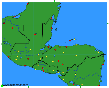
To change the map : click on the green buttons with a black cross to zoom in, on the green button with a dash to zoom out, or on the green arrows for adjacent maps.