METAR-TAF
Airports :
Johan Adolf Pengel International Airport
Paramaribo, Suriname
latitude: 05-27N, longitude: 055-11W, elevation: 16 m
Current weather observation
The report was made 12 minutes ago, at 09:00 UTC
Wind 2 kt from the South
Temperature 24°C
Humidity 100%
Pressure 1012 hPa
Visibility 10 km or more
Few clouds at a height of 400 ft
Few clouds at a height of 1200 ft, Cumulonimbus.
Scattered clouds at a height of 2000 ft
Few clouds at a height of 1200 ft, Cumulonimbus.
Scattered clouds at a height of 2000 ft
METAR: SMJP 140900Z 19002KT 9999 FEW004 FEW012CB SCT020 24/24 Q1012
Time: 06:12 (09:12 UTC)
Forecast
The report was made 11 hours and 12 minutes ago, at 22:00 UTC
Forecast valid from 14 at 00 UTC to 14 at 24 UTC
Wind 2 kt from variable directions
Visibility 10 km or more
Scattered clouds at a height of 2000 ft
From 14 at 1200 UTC
Wind 10 kt from the East/Northeast
Visibility 10 km or more
Scattered clouds at a height of 1500 ft
Temporary
from 14 at 16 UTC to 14 at 22 UTC
from 14 at 16 UTC to 14 at 22 UTC
Visibility: 1000 m
Few clouds at a height of 800 ft
Scattered clouds at a height of 1500 ft, Cumulonimbus.
Broken clouds at a height of 2000 ft
Scattered clouds at a height of 1500 ft, Cumulonimbus.
Broken clouds at a height of 2000 ft
thunderstorm, heavy rain
TAF: SMJP 132200Z 1400/1424 VRB02KT 9999 SCT020 TX29/1416Z TN24/1409Z FM141200 07010KT 9999 SCT015 TEMPO 1416/1422 1000 +TSRA FEW008 SCT015CB BKN020
Weather observations and forecasts of more than 4000 airports (METAR and TAF reports).
The available stations are represented by yellow and red dots on the map.
Hover mouse over dot to see the name of the station.
Then click to see weather observations and forecasts.
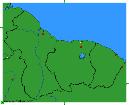
To change the map : click on the green buttons with a black cross to zoom in, on the green button with a dash to zoom out, or on the green arrows for adjacent maps.