METAR-TAF
Airports :
Cheddi Jagan International Airport
Georgetown, Guyana
latitude: 06-29N, longitude: 058-15W, elevation: 29 m
Current weather observation
Scattered clouds at a height of 3600 ft
Broken clouds at a height of 7000 ft
METAR: SYCJ 040500Z 08004KT 9999 SCT016 SCT036 BKN070 26/26 Q1014 NOSIG
Time: 01:48 (05:48 UTC)
Forecast
Scattered clouds at a height of 3400 ft
from 04 at 08 UTC to 04 at 12 UTC
Broken clouds at a height of 3200 ft
from 04 at 12 UTC to 04 at 15 UTC
from 04 at 17 UTC to 04 at 20 UTC
Scattered clouds at a height of 3200 ft
TAF: SYCJ 040510Z 0406/0506 VRB02KT 9999 SCT016 SCT034 TEMPO 0408/0412 7000 SHRA BKN014 BKN032 BECMG 0412/0415 10010KT 9999 SCT019 TEMPO 0417/0420 6000 SHRA FEW017CB SCT032
Weather observations and forecasts of more than 4000 airports (METAR and TAF reports).
The available stations are represented by yellow and red dots on the map.
Hover mouse over dot to see the name of the station.
Then click to see weather observations and forecasts.
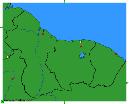
To change the map : click on the green buttons with a black cross to zoom in, on the green button with a dash to zoom out, or on the green arrows for adjacent maps.