METAR-TAF
Airports :
Marine Corps Air Station Kaneohe Bay
Kaneohe, Hawaii, United States
latitude: 21-27-14N, longitude: 157-45-56W, elevation: 16 ft
Current weather observation
Broken clouds at a height of 3600 ft
Overcast at a height of 20000 ft
METAR: PHNG 172057Z 30004KT 7SM SCT025 BKN036 OVC200 23/20 A2990 RMK AO2 SLP121 T02330200 50005
Time: 13:34 (23:34 UTC)
Forecast
Broken clouds at a height of 4000 ft
from 17 at 18 UTC to 17 at 23 UTC
from 18 at 10 UTC to 18 at 15 UTC
TAF: PHNG 1717/1815 04007KT 9999 BKN020 BKN040 QNH2991INS TEMPO 1718/1723 8000 SHRA BR TEMPO 1810/1815 8000 SHRA BR TX26/1723Z TN22/1813Z RTD 1720
Weather observations and forecasts of more than 4000 airports (METAR and TAF reports).
The available stations are represented by yellow and red dots on the map.
Hover mouse over dot to see the name of the station.
Then click to see weather observations and forecasts.
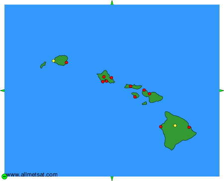
To change the map : click on the green buttons with a black cross to zoom in, on the green button with a dash to zoom out, or on the green arrows for adjacent maps.