METAR-TAF
Airports :
Hilo International Airport
Hilo, Hawaii, United States
latitude: 19-43-20N, longitude: 155-03-21W, elevation: 36 ft
Current weather observation
Broken clouds at a height of 4900 ft
Overcast at a height of 6000 ft
METAR: PHTO 020653Z 07007KT 10SM FEW020 BKN049 OVC060 25/21 A3007 RMK AO2 SLP180 T02500211
Time: 21:04 (07:04 UTC)
Forecast
Scattered clouds at a height of 5000 ft
from 02 at 06 UTC to 02 at 10 UTC
Broken clouds at a height of 5000 ft
Scattered clouds at a height of 5000 ft
TAF: PHTO 020540Z 0206/0306 03003KT P6SM VCSH FEW030 SCT050 TEMPO 0206/0210 4SM -SHRA BR BKN030 FM021200 25005KT P6SM VCSH SCT025 BKN050 FM022000 05008KT P6SM FEW030 SCT050
Weather observations and forecasts of more than 4000 airports (METAR and TAF reports).
The available stations are represented by yellow and red dots on the map.
Hover mouse over dot to see the name of the station.
Then click to see weather observations and forecasts.
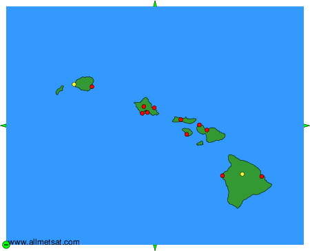
To change the map : click on the green buttons with a black cross to zoom in, on the green button with a dash to zoom out, or on the green arrows for adjacent maps.