METAR-TAF
Airports :
Hong Kong International Airport
Hong Kong, China
latitude: 22-19N, longitude: 113-55E, elevation: 9 m
Current weather observation
The report was made 23 minutes ago, at 04:00 UTC
Wind 5 kt from the North
Temperature 31°C
Humidity 71%
Pressure 999 hPa
Visibility 10 km or more
Few clouds at a height of 1500 ft
METAR: VHHH 110400Z 36005KT 9999 FEW015 31/25 Q0999 NOSIG
Time: 12:23 (04:23 UTC)
Forecast
The report was made 2 hours and 23 minutes ago, at 02:00 UTC
Forecast valid from 11 at 03 UTC to 12 at 09 UTC
Wind 10 kt from the West/Northwest
Visibility 10 km or more
Few clouds at a height of 1500 ft
Becoming
from 11 at 10 UTC to 11 at 12 UTC
from 11 at 10 UTC to 11 at 12 UTC
Wind 15 kt from the West/Southwest
TAF: VHHH 110200Z 1103/1209 30010KT 9999 FEW015 TX35/1106Z TX34/1206Z TN29/1122Z BECMG 1110/1112 24015KT
Weather observations and forecasts of more than 4000 airports (METAR and TAF reports).
The available stations are represented by yellow and red dots on the map.
Hover mouse over dot to see the name of the station.
Then click to see weather observations and forecasts.
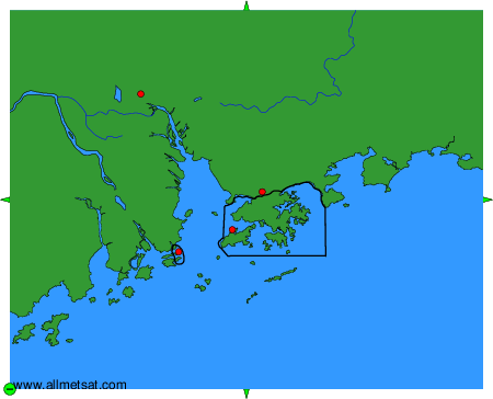
To change the map : click on the green buttons with a black cross to zoom in, on the green button with a dash to zoom out, or on the green arrows for adjacent maps.