METAR-TAF
Airports :
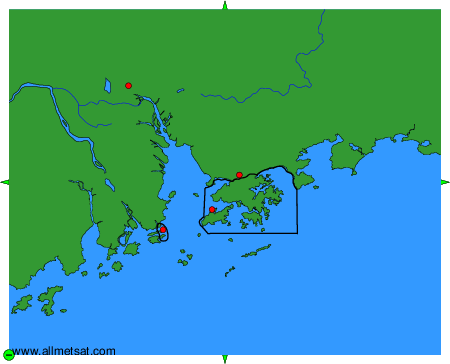
Macau International Airport
Macau, China
latitude: 22-10N, longitude: 113-34E, elevation: 114 m
Current weather observation
The report was made 36 minutes ago, at 19:30 UTC
Wind 8 kt from the South
Temperature 28°C
Humidity 100%
Pressure 1004 hPa
Visibility 10 km or more
Few clouds at a height of 800 ft
Scattered clouds at a height of 1500 ft
Scattered clouds at a height of 1500 ft
METAR: VMMC 191930Z 18008KT 9999 FEW008 SCT015 28/28 Q1004 NOSIG
Time: 04:06 (20:06 UTC)
Forecast
The report was made 3 hours and 6 minutes ago, at 17:00 UTC
Forecast valid from 19 at 18 UTC to 20 at 24 UTC
Wind 8 kt from the South/Southwest
Visibility 10 km or more
Few clouds at a height of 1000 ft
Scattered clouds at a height of 2000 ft
Scattered clouds at a height of 2000 ft
Temporary
from 19 at 18 UTC to 19 at 20 UTC
from 19 at 18 UTC to 19 at 20 UTC
Visibility: 4000 m
rain showers
Temporary
from 19 at 20 UTC to 20 at 02 UTC
from 19 at 20 UTC to 20 at 02 UTC
Wind 18 kt from variable directions with gusts up to 28 kt
Visibility: 2500 m
Few clouds at a height of 800 ft
Scattered clouds at a height of 1500 ft, Cumulonimbus.
Scattered clouds at a height of 1500 ft, Cumulonimbus.
thunderstorm, rain
Temporary
from 20 at 02 UTC to 20 at 08 UTC
from 20 at 02 UTC to 20 at 08 UTC
Visibility: 4000 m
rain showers,
TAF: VMMC 191700Z 1918/2024 20008KT 9999 FEW010 SCT020 TEMPO 1918/1920 4000 SHRA TEMPO 1920/2002 VRB18G28KT 2500 TSRA FEW008 SCT015CB TEMPO 2002/2008 4000 SHRA
Weather observations and forecasts of more than 4000 airports (METAR and TAF reports).
The available stations are represented by yellow and red dots on the map.
Hover mouse over dot to see the name of the station.
Then click to see weather observations and forecasts.
To change the map : click on the green buttons with a black cross to zoom in, on the green button with a dash to zoom out, or on the green arrows for adjacent maps.