METAR-TAF
Airports :
Shenzhen Bao'an International Airport
Shenzhen, China
latitude: 22-33N, longitude: 114-06E, elevation: 18 m
Current weather observation
Few clouds at a height of 1600 ft, Cumulonimbus.
Broken clouds at a height of 2000 ft
METAR: ZGSZ 020200Z 10003MPS 9999 SCT015 FEW016CB BKN020 27/25 Q1007 BECMG AT0215 SHRA
Time: 10:50 (02:50 UTC)
Forecast
from 02 at 00 UTC to 02 at 02 UTC
Broken clouds at a height of 3000 ft
from 02 at 05 UTC to 02 at 08 UTC
Few clouds at a height of 2000 ft, Cumulonimbus.
Broken clouds at a height of 3000 ft
from 02 at 08 UTC to 02 at 11 UTC
Broken clouds at a height of 3000 ft
from 02 at 16 UTC to 02 at 20 UTC
Broken clouds at a height of 3000 ft
from 02 at 22 UTC to 03 at 02 UTC
Few clouds at a height of 2000 ft, Cumulonimbus.
Broken clouds at a height of 3000 ft
TAF: ZGSZ 012109Z 0200/0306 18004MPS 8000 BKN030 TX29/0206Z TX29/0306Z TN26/0222Z TEMPO 0200/0202 SHRA FEW020CB BKN030 TEMPO 0205/0208 TSRA FEW012 FEW020CB BKN030 TEMPO 0208/0211 SHRA FEW020CB BKN030 TEMPO 0216/0220 SHRA FEW020CB BKN030 TEMPO 0222/0302 SHRA FEW012 FEW020CB BKN030
Weather observations and forecasts of more than 4000 airports (METAR and TAF reports).
The available stations are represented by yellow and red dots on the map.
Hover mouse over dot to see the name of the station.
Then click to see weather observations and forecasts.
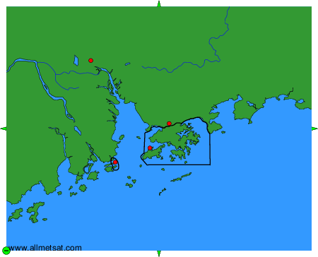
To change the map : click on the green buttons with a black cross to zoom in, on the green button with a dash to zoom out, or on the green arrows for adjacent maps.