METAR-TAF
Airports :
Nerlerit Inaat Airport
Ittoqqortoormiit, Greenland
latitude: 70-45N, longitude: 022-39W, elevation: 14 m
METAR: missing
Time: 20:58 (20:58 UTC)
Forecast
The report was made 8 hours and 57 minutes ago, at 12:01 UTC
Forecast valid from 01 at 12 UTC to 01 at 17 UTC
Wind 15 kt from the South
Visibility 10 km or more
Few clouds at a height of 10000 ft
TAF: BGCO 011201Z 0112/0117 17015KT 9999 FEW100
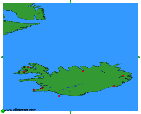
Weather observations and forecasts of more than 4000 airports (METAR and TAF reports).
The available stations are represented by yellow and red dots on the map.
Hover mouse over dot to see the name of the station.
Then click to see weather observations and forecasts.
To change the map : click on the green buttons with a black cross to zoom in, on the green button with a dash to zoom out, or on the green arrows for adjacent maps.