METAR-TAF
Airports :
Akureyri Airport
Akureyri, Iceland
latitude: 65-41N, longitude: 018-05W, elevation: 23 m
Current weather observation
METAR: BIAR 060800Z 14008KT 9999 -SHRA BKN053 03/M02 Q0989
Time: 08:36 (08:36 UTC)
Forecast
Broken clouds at a height of 3500 ft
from 06 at 11 UTC to 06 at 13 UTC
from 06 at 13 UTC to 06 at 22 UTC
from 06 at 22 UTC to 07 at 00 UTC
from 07 at 01 UTC to 07 at 09 UTC
TAF: BIAR 060749Z 0609/0709 20015G25KT 9999 -SHRA SCT015 BKN035 TX08/0614Z TN02/0609Z BECMG 0611/0613 15014KT TEMPO 0613/0622 15020G30KT BECMG 0622/0700 17022G35KT TEMPO 0701/0709 19035G50KT
Weather observations and forecasts of more than 4000 airports (METAR and TAF reports).
The available stations are represented by yellow and red dots on the map.
Hover mouse over dot to see the name of the station.
Then click to see weather observations and forecasts.
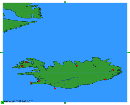
To change the map : click on the green buttons with a black cross to zoom in, on the green button with a dash to zoom out, or on the green arrows for adjacent maps.