METAR-TAF
Airports :
Keflavík International Airport
Keflavík, Iceland
latitude: 63-58N, longitude: 022-36W, elevation: 171 ft
Current weather observation
The report was made 19 minutes ago, at 12:30 UTC
Wind 17 mph from the South/Southeast
Temperature 45°F
Humidity 76%
Pressure 29.00 in. Hg
Visibility 6.2 miles or more
Few clouds at a height of 2100 ft, Cumulonimbus.
Broken clouds at a height of 3700 ft
Broken clouds at a height of 3700 ft
METAR: BIKF 081230Z 16015KT 9999 FEW021CB BKN037 07/03 Q0982
Time: 12:49 (12:49 UTC)
Forecast
The report was made 2 hours and 19 minutes ago, at 10:30 UTC
Forecast valid from 08 at 12 UTC to 09 at 12 UTC
Wind 18 mph from the South
Visibility 6.2 miles or more
Scattered clouds at a height of 2500 ft
Broken clouds at a height of 3200 ft
Broken clouds at a height of 3200 ft
light rain showers
Temporary
from 08 at 12 UTC to 09 at 12 UTC
from 08 at 12 UTC to 09 at 12 UTC
Visibility: 13123 ft
Broken clouds at a height of 1400 ft, Cumulonimbus.
rain showers
Becoming
from 09 at 06 UTC to 09 at 08 UTC
from 09 at 06 UTC to 09 at 08 UTC
Wind 18 mph from the South/Southwest
Becoming
from 09 at 10 UTC to 09 at 12 UTC
from 09 at 10 UTC to 09 at 12 UTC
Wind 25 mph from the South/Southwest with gusts up to 37 mph
TAF: BIKF 081030Z 0812/0912 17016KT 9999 -SHRA SCT025 BKN032 TX06/0812Z TN03/0904Z TEMPO 0812/0912 4000 SHRA BKN014CB BECMG 0906/0908 21016KT BECMG 0910/0912 21022G32KT
Weather observations and forecasts of more than 4000 airports (METAR and TAF reports).
The available stations are represented by yellow and red dots on the map.
Hover mouse over dot to see the name of the station.
Then click to see weather observations and forecasts.
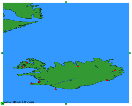
To change the map : click on the green buttons with a black cross to zoom in, on the green button with a dash to zoom out, or on the green arrows for adjacent maps.