METAR-TAF
Airports :
Sir Seewoosagur Ramgoolam International Airport
Mauritius, Mauritius
latitude: 20-26S, longitude: 057-40E, elevation: 55 m
Current weather observation
The report was made 9 minutes ago, at 21:00 UTC
Wind 9 kt from the East/Northeast
Temperature 23°C
Humidity 83%
Pressure 1022 hPa
Visibility 10 km or more
Scattered clouds at a height of 1500 ft
showers in vicinity
METAR: FIMP 102100Z 07009KT 9999 VCSH SCT015 23/20 Q1022
Time: 01:09 (21:09 UTC)
Forecast
The report was made 4 hours and 4 minutes ago, at 17:05 UTC
Forecast valid from 10 at 18 UTC to 12 at 00 UTC
Wind 8 kt from the East
Visibility 10 km or more
Scattered clouds at a height of 1600 ft
Temporary
from 10 at 18 UTC to 11 at 00 UTC
from 10 at 18 UTC to 11 at 00 UTC
Visibility: 7000 m
Few clouds at a height of 1000 ft
Broken clouds at a height of 1500 ft
Broken clouds at a height of 1500 ft
light rain showers
TAF: FIMP 101705Z 1018/1200 08008KT 9999 SCT016 TEMPO 1018/1100 7000 -SHRA FEW010 BKN015
Weather observations and forecasts of more than 4000 airports (METAR and TAF reports).
The available stations are represented by yellow and red dots on the map.
Hover mouse over dot to see the name of the station.
Then click to see weather observations and forecasts.
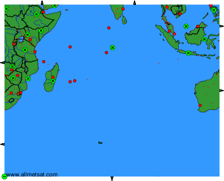
To change the map : click on the green buttons with a black cross to zoom in, on the green button with a dash to zoom out, or on the green arrows for adjacent maps.