METAR-TAF
Airports :
Ivato International Airport
Antananarivo, Madagascar
latitude: 18-48S, longitude: 047-29E, elevation: 1279 m
Current weather observation
The report was made 14 minutes ago, at 08:30 UTC
Wind 10 kt from the South, varying between Southeast and South/Southwest
Temperature 17°C
Humidity 55%
Pressure 1026 hPa
Visibility 10 km or more
Few clouds at a height of 1700 ft
Broken clouds at a height of 2000 ft
Broken clouds at a height of 2000 ft
METAR: FMMI 220830Z 17010KT 130V200 9999 FEW017 BKN020 17/08 Q1026 NOSIG
Time: 11:44 (08:44 UTC)
Forecast
The report was made 3 hours and 44 minutes ago, at 05:00 UTC
Forecast valid from 22 at 06 UTC to 23 at 12 UTC
Wind 5 kt from variable directions
Visibility 10 km or more
Few clouds at a height of 1700 ft
Scattered clouds at a height of 2000 ft
Scattered clouds at a height of 2000 ft
Becoming
from 22 at 07 UTC to 22 at 09 UTC
from 22 at 07 UTC to 22 at 09 UTC
Wind 15 kt from the South/Southeast with gusts up to 25 kt
Becoming
from 22 at 15 UTC to 22 at 17 UTC
from 22 at 15 UTC to 22 at 17 UTC
Wind 6 kt from the South/Southeast
Becoming
from 23 at 04 UTC to 23 at 06 UTC
from 23 at 04 UTC to 23 at 06 UTC
Wind 16 kt from the South/Southeast
TAF: FMMI 220500Z 2206/2312 VRB05KT 9999 FEW017 SCT020 BECMG 2207/2209 16015G25KT BECMG 2215/2217 16006KT BECMG 2304/2306 16016KT
Weather observations and forecasts of more than 4000 airports (METAR and TAF reports).
The available stations are represented by yellow and red dots on the map.
Hover mouse over dot to see the name of the station.
Then click to see weather observations and forecasts.
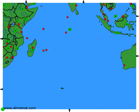
To change the map : click on the green buttons with a black cross to zoom in, on the green button with a dash to zoom out, or on the green arrows for adjacent maps.