METAR-TAF
Airports :
Beira Airport
Beira, Mozambique
latitude: 19-48S, longitude: 034-54E, elevation: 8 m
Current weather observation
The report was made 41 minutes ago, at 19:00 UTC
Wind 13 kt from the South/Southwest
Temperature 25°C
Humidity 83%
Pressure 1022 hPa
Visibility 10 km or more
Few clouds at a height of 1000 ft
Scattered clouds at a height of 1800 ft
Scattered clouds at a height of 1800 ft
METAR: FQBR 121900Z 20013KT 9999 FEW010 SCT018 25/22 Q1022
Time: 21:41 (19:41 UTC)
Forecast
The report was made 3 hours and 41 minutes ago, at 16:00 UTC
Forecast valid from 12 at 18 UTC to 13 at 24 UTC
Wind 17 kt from the South with gusts up to 27 kt
Visibility 10 km or more
Scattered clouds at a height of 2000 ft
Becoming
from 13 at 00 UTC to 13 at 02 UTC
from 13 at 00 UTC to 13 at 02 UTC
Wind 15 kt from the Southwest
Probability 30% :
Temporary
from 13 at 00 UTC to 13 at 06 UTC
from 13 at 00 UTC to 13 at 06 UTC
Visibility: 5000 m
Scattered clouds at a height of 1000 ft
Broken clouds at a height of 1500 ft
Broken clouds at a height of 1500 ft
light rain, drizzle
From 13 at 1200 UTC
Wind 17 kt from the South/Southeast
TAF: FQBR 121600Z 1218/1324 17017G27KT 9999 SCT020 TX28/1313Z TN22/1302Z BECMG 1300/1302 22015KT PROB30 TEMPO 1300/1306 5000 -RADZ SCT010 BKN015 FM131200 16017KT
Weather observations and forecasts of more than 4000 airports (METAR and TAF reports).
The available stations are represented by yellow and red dots on the map.
Hover mouse over dot to see the name of the station.
Then click to see weather observations and forecasts.
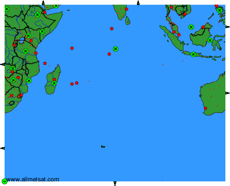
To change the map : click on the green buttons with a black cross to zoom in, on the green button with a dash to zoom out, or on the green arrows for adjacent maps.