METAR-TAF
Airports :
Maputo
Antananarivo
Bangkok
Brunei
Bujumbura
Chennai
Dar es Salaam
Diego Garcia
Djibouti
Harare
Ho Chi Minh City
Johannesburg
Kuala Lumpur
Lusaka
Malé
Manila
Maputo
Mauritius
Moroni
Nairobi-Jomo Kenyatta
Perth
Saint-Denis
Singapore-Changi
Victoria
Indian Ocean
Africa
Antarctica
Asia
Australia, Oceania
Bali
Burundi
Central African Republic
Chad
Comoros
Djibouti
Eritrea
Ethiopia
Europe
Indian Ocean islands
Indonesia
Java
Kenya
Madagascar
Malawi
Malaysia
Mauritius
Mozambique
North Pacific
Philippines
Réunion
Rwanda
Singapore
Somalia
South Africa, Gauteng
South Atlantic
Sudan
Tanzania
Uganda
Western Australia, North
Western Australia, South
Yemen
Zambia
Zimbabwe
Maputo International Airport Maputo, Mozambique
latitude: 25-55S, longitude: 032-34E, elevation: 39 m
Current weather observation The report was made 18 minutes ago, at 05:00 UTC
Wind 8 kt from the South/Southwest
Temperature 25 °C
Humidity 89 %
Pressure 1021 hPa
Visibility 10 km or more
Few clouds at a height of 1500 ft Broken clouds at a height of 2000 ft
METAR: FQMA 100500Z 20008KT 9999 FEW015 BKN020 25/23 Q1021 NOSIG
Time: 07:18 (05:18 UTC) Forecast The report was made 1 hour and 18 minutes ago, at 04:00 UTC
Forecast valid from 10 at 06 UTC to 11 at 12 UTC
Wind 8 kt from the South/Southwest
Visibility 10 km or more
Broken clouds at a height of 2000 ft
Probability 30% :
Temporary
Visibility: 5000 m
Scattered clouds at a height of 1500 ft Broken clouds at a height of 1800 ft Few clouds at a height of 2500 ft, Cumulonimbus.
thunderstorm, light rain
Becoming
Wind 15 kt from the East/Southeast
Few clouds at a height of 2000 ft
Becoming
Wind 5 kt from the East/Northeast
Becoming
Wind 2 kt from variable directions
TAF: FQMA 100400Z 1006/1112 20008KT 9999 BKN020 TX31/1013Z TN17/1103Z PROB30 TEMPO 1008/1014 5000 -TSRA SCT015 BKN018 FEW025CB BECMG 1011/1013 12015KT FEW020 BECMG 1022/1100 06005KT BECMG 1102/1104 VRB02KT
Weather observations and forecasts of more than 4000 airports (METAR and TAF reports).
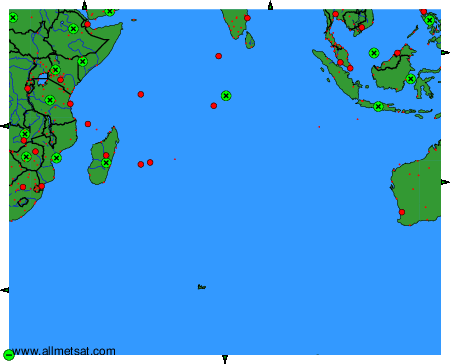
To change the map : click on the green buttons with a black cross to zoom in, on the green button with a dash to zoom out, or on the green arrows for adjacent maps.