METAR-TAF
Airports :
Seychelles International Airport
Victoria, Mahé, Seychelles
latitude: 04-40S, longitude: 055-31E, elevation: 3 m
Current weather observation
The report was made 1 hour and 0 minutes ago, at 09:00 UTC
Wind 10 kt from the East/Southeast, varying between East and South/Southeast
Temperature 28°C
Humidity 66%
Pressure 1013 hPa
Visibility 10 km or more
Few clouds at a height of 2300 ft
METAR: FSIA 020900Z 12010KT 080V160 9999 FEW023 28/21 Q1013 NOSIG
Time: 14:00 (10:00 UTC)
Forecast
The report was made 4 hours and 59 minutes ago, at 05:01 UTC
Forecast valid from 02 at 06 UTC to 03 at 06 UTC
Wind 12 kt from the East/Southeast
Visibility 10 km or more
Scattered clouds at a height of 2200 ft
TAF: FSIA 020501Z 0206/0306 12012KT 9999 SCT022
Weather observations and forecasts of more than 4000 airports (METAR and TAF reports).
The available stations are represented by yellow and red dots on the map.
Hover mouse over dot to see the name of the station.
Then click to see weather observations and forecasts.
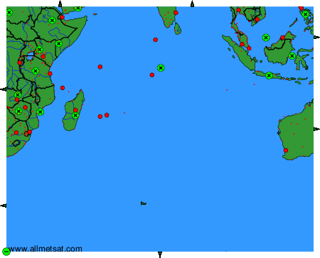
To change the map : click on the green buttons with a black cross to zoom in, on the green button with a dash to zoom out, or on the green arrows for adjacent maps.