METAR-TAF
Airports :
Lilongwe International Airport
Lilongwe, Malawi
latitude: 13-47S, longitude: 033-46E, elevation: 1229 m
Current weather observation
The report was made 25 minutes ago, at 13:00 UTC
Wind 11 kt from the East
Temperature 25°C
Humidity 41%
Pressure 1022 hPa
Visibility 10 km or more
Few clouds at a height of 3000 ft
METAR: FWKI 221300Z 10011KT 9999 FEW030 25/11 Q1022 NOSIG
Time: 15:25 (13:25 UTC)
Forecast
The report was made 2 hours and 25 minutes ago, at 11:00 UTC
Forecast valid from 22 at 12 UTC to 23 at 18 UTC
Wind 14 kt from the East
Visibility 10 km or more
Few clouds at a height of 2800 ft
Becoming
from 22 at 12 UTC to 22 at 15 UTC
from 22 at 12 UTC to 22 at 15 UTC
Wind 10 kt from the East
Visibility 10 km or more
no clouds below 1500 m and no cumulonimbus
Temporary
from 23 at 07 UTC to 23 at 10 UTC
from 23 at 07 UTC to 23 at 10 UTC
Wind 10 kt from the East with gusts up to 24 kt
Visibility 10 km or more
no clouds below 1500 m and no cumulonimbus
Becoming
from 23 at 11 UTC to 23 at 13 UTC
from 23 at 11 UTC to 23 at 13 UTC
Wind 9 kt from the East
Visibility 10 km or more
Few clouds at a height of 2100 ft
Becoming
from 23 at 14 UTC to 23 at 17 UTC
from 23 at 14 UTC to 23 at 17 UTC
Wind 8 kt from the East
TAF: FWKI 221100Z 2212/2318 08014KT 9999 FEW028 BECMG 2212/2215 09010KT CAVOK TEMPO 2307/2310 10010G24KT CAVOK BECMG 2311/2313 08009KT 9999 FEW021 BECMG 2314/2317 09008KT CAVOK
Weather observations and forecasts of more than 4000 airports (METAR and TAF reports).
The available stations are represented by yellow and red dots on the map.
Hover mouse over dot to see the name of the station.
Then click to see weather observations and forecasts.
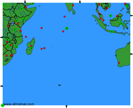
To change the map : click on the green buttons with a black cross to zoom in, on the green button with a dash to zoom out, or on the green arrows for adjacent maps.