METAR-TAF
Airports :
Kigali International Airport
Kigali, Rwanda
latitude: 01-58S, longitude: 030-07E, elevation: 1491 m
Current weather observation
The report was made 34 minutes ago, at 16:00 UTC
Wind 4 kt from the Southeast, varying between East and South
Temperature 26°C
Humidity 45%
Pressure 1019 hPa
Visibility 10 km or more
Few clouds at a height of 2300 ft
Few clouds at a height of 2500 ft, Cumulonimbus.
Few clouds at a height of 2500 ft, Cumulonimbus.
METAR: HRYR 091600Z 14004KT 100V180 9999 FEW023 FEW025CB 26/13 Q1019 NOSIG
Time: 18:34 (16:34 UTC)
Forecast
The report was made 5 hours and 34 minutes ago, at 11:00 UTC
Forecast valid from 09 at 12 UTC to 10 at 18 UTC
Wind 10 kt from the South/Southeast
Visibility 10 km or more
Scattered clouds at a height of 2500 ft
Becoming
from 10 at 03 UTC to 10 at 05 UTC
from 10 at 03 UTC to 10 at 05 UTC
Wind 5 kt from the West/Northwest
TAF: HRYR 091100Z 0912/1018 16010KT 9999 SCT025 BECMG 1003/1005 29005KT
Weather observations and forecasts of more than 4000 airports (METAR and TAF reports).
The available stations are represented by yellow and red dots on the map.
Hover mouse over dot to see the name of the station.
Then click to see weather observations and forecasts.
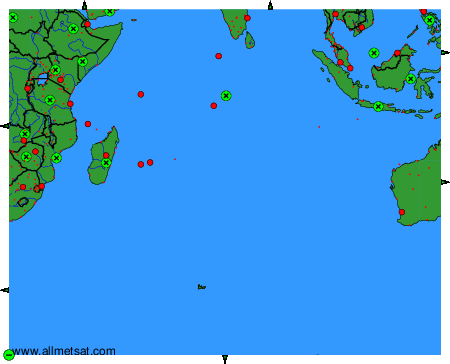
To change the map : click on the green buttons with a black cross to zoom in, on the green button with a dash to zoom out, or on the green arrows for adjacent maps.