METAR-TAF
Airports :
Velana International Airport
Malé, Maldives
latitude: 04-12N, longitude: 073-32E, elevation: 2 m
Current weather observation
The report was made 56 minutes ago, at 01:00 UTC
Wind 8 kt from the West
Temperature 28°C
Humidity 84%
Pressure 1010 hPa
Visibility 10 km or more
Few clouds at a height of 1800 ft
Broken clouds at a height of 28000 ft
Broken clouds at a height of 28000 ft
METAR: VRMM 140100Z 28008KT 9999 FEW018 BKN280 28/25 Q1010 NOSIG
Time: 06:56 (01:56 UTC)
Forecast
The report was made 2 hours and 56 minutes ago, at 23:00 UTC
Forecast valid from 14 at 00 UTC to 15 at 06 UTC
Wind 12 kt from the West/Northwest
Visibility 10 km or more
Few clouds at a height of 1800 ft
TAF: VRMM 132300Z 1400/1506 29012KT 9999 FEW018
Weather observations and forecasts of more than 4000 airports (METAR and TAF reports).
The available stations are represented by yellow and red dots on the map.
Hover mouse over dot to see the name of the station.
Then click to see weather observations and forecasts.
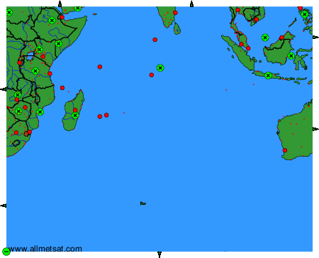
To change the map : click on the green buttons with a black cross to zoom in, on the green button with a dash to zoom out, or on the green arrows for adjacent maps.