METAR-TAF
Airports :
Tan Son Nhat International Airport
Ho Chi Minh City, Vietnam
latitude: 10-49N, longitude: 106-40E, elevation: 19 m
Current weather observation
The report was made 37 minutes ago, at 04:30 UTC
Wind 16 kt from the West, varying between Southwest and West/Northwest
Temperature 35°C
Humidity 56%
Pressure 1006 hPa
Visibility 10 km or more
Broken clouds at a height of 3100 ft
METAR: VVTS 110430Z 26016KT 230V300 9999 BKN031 35/25 Q1006 NOSIG
Time: 12:07 (05:07 UTC)
Forecast
The report was made 6 hours and 7 minutes ago, at 23:00 UTC
Forecast valid from 11 at 00 UTC to 12 at 06 UTC
Wind 12 kt from the West/Southwest
Visibility 10 km or more
Scattered clouds at a height of 1700 ft
Temporary
from 11 at 03 UTC to 11 at 07 UTC
from 11 at 03 UTC to 11 at 07 UTC
Wind 15 kt from the West/Southwest with gusts up to 25 kt
Temporary
from 11 at 07 UTC to 11 at 11 UTC
from 11 at 07 UTC to 11 at 11 UTC
Wind 16 kt from the West/Southwest with gusts up to 28 kt
Visibility: 5000 m
Broken clouds at a height of 1500 ft
Few clouds at a height of 1700 ft, Cumulonimbus.
Few clouds at a height of 1700 ft, Cumulonimbus.
thunderstorm, rain
TAF: VVTS 102300Z 1100/1206 24012KT 9999 SCT017 TEMPO 1103/1107 24015G25KT TEMPO 1107/1111 24016G28KT 5000 TSRA BKN015 FEW017CB
Weather observations and forecasts of more than 4000 airports (METAR and TAF reports).
The available stations are represented by yellow and red dots on the map.
Hover mouse over dot to see the name of the station.
Then click to see weather observations and forecasts.
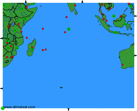
To change the map : click on the green buttons with a black cross to zoom in, on the green button with a dash to zoom out, or on the green arrows for adjacent maps.