METAR-TAF
Airports :
Brunei International Airport
Brunei, Brunei
latitude: 04-56N, longitude: 114-56E, elevation: 22 m
Current weather observation
The report was made 37 minutes ago, at 05:30 UTC
Wind 6 kt from the North/Northwest
Temperature 32°C
Humidity 71%
Pressure 1008 hPa
Visibility 10 km or more
Scattered clouds at a height of 1600 ft
Few clouds at a height of 1700 ft, Cumulonimbus.
Broken clouds at a height of 30000 ft
Few clouds at a height of 1700 ft, Cumulonimbus.
Broken clouds at a height of 30000 ft
METAR: WBSB 010530Z 34006KT 9999 SCT016 FEW017CB BKN300 32/26 Q1008 NOSIG
Time: 14:07 (06:07 UTC)
Forecast
The report was made 1 hour and 7 minutes ago, at 05:00 UTC
Forecast valid from 01 at 06 UTC to 02 at 12 UTC
Wind 10 kt from the North/Northwest
Visibility 10 km or more
Few clouds at a height of 1500 ft
Becoming
from 01 at 14 UTC to 01 at 16 UTC
from 01 at 14 UTC to 01 at 16 UTC
Wind 3 kt from the East/Northeast
Scattered clouds at a height of 1400 ft
Temporary
from 01 at 15 UTC to 01 at 19 UTC
from 01 at 15 UTC to 01 at 19 UTC
Visibility: 7000 m
Scattered clouds at a height of 1400 ft
Few clouds at a height of 1500 ft, Cumulonimbus.
Few clouds at a height of 1500 ft, Cumulonimbus.
thunderstorm, light rain
TAF: WBSB 010500Z 0106/0212 34010KT 9999 FEW015 BECMG 0114/0116 06003KT SCT014 TEMPO 0115/0119 7000 -TSRA SCT014 FEW015CB
Weather observations and forecasts of more than 4000 airports (METAR and TAF reports).
The available stations are represented by yellow and red dots on the map.
Hover mouse over dot to see the name of the station.
Then click to see weather observations and forecasts.
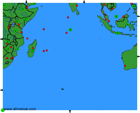
To change the map : click on the green buttons with a black cross to zoom in, on the green button with a dash to zoom out, or on the green arrows for adjacent maps.