METAR-TAF
Airports :
Singapore Changi Airport
Singapore, Singapore
latitude: 01-22N, longitude: 103-59E, elevation: 5 m
Current weather observation
The report was made 9 minutes ago, at 12:00 UTC
Wind 2 kt from the Northwest
Temperature 27°C
Humidity 89%
Pressure 1011 hPa
Visibility 10 km or more
Few clouds at a height of 1800 ft
Broken clouds at a height of 30000 ft
Broken clouds at a height of 30000 ft
METAR: WSSS 231200Z 32002KT 9999 FEW018 BKN300 27/25 Q1011 NOSIG
Time: 20:09 (12:09 UTC)
Forecast
The report was made 1 hour and 9 minutes ago, at 11:00 UTC
Forecast valid from 23 at 12 UTC to 24 at 18 UTC
Wind 7 kt from the South
Visibility 10 km or more
Few clouds at a height of 1500 ft
Scattered clouds at a height of 2000 ft
Scattered clouds at a height of 2000 ft
Temporary
from 24 at 04 UTC to 24 at 07 UTC
from 24 at 04 UTC to 24 at 07 UTC
Visibility: 3000 m
Few clouds at a height of 1200 ft, Cumulonimbus.
Broken clouds at a height of 1500 ft
Broken clouds at a height of 1500 ft
thunderstorm, rain
TAF: WSSS 231100Z 2312/2418 18007KT 9999 FEW015 SCT020 TEMPO 2404/2407 3000 TSRA FEW012CB BKN015
Weather observations and forecasts of more than 4000 airports (METAR and TAF reports).
The available stations are represented by yellow and red dots on the map.
Hover mouse over dot to see the name of the station.
Then click to see weather observations and forecasts.
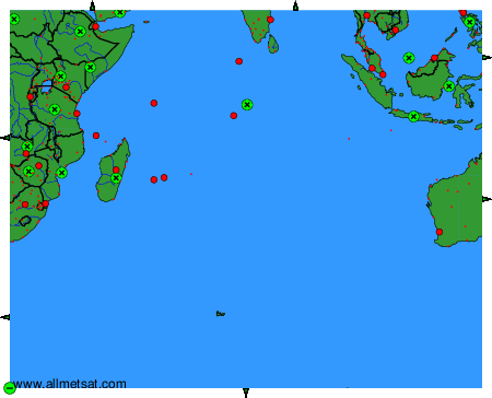
To change the map : click on the green buttons with a black cross to zoom in, on the green button with a dash to zoom out, or on the green arrows for adjacent maps.