The report was made 2 hours and 29 minutes ago, at 07:40 UTC
Forecast valid from 27 at 08 UTC to 27 at 20 UTC
Wind 3 mph from variable directions
Visibility: 0.5 miles
Broken clouds at a height of 200 ft
fog
Temporary from 27 at 08 UTC to 27 at 13 UTC
Visibility: 3 miles
Scattered clouds at a height of 200 ft
mist
From 27 at 1300 UTC
Wind 8 mph from the North
Visibility: 6 miles
Scattered clouds at a height of 700 ft
Temporary from 27 at 13 UTC to 27 at 15 UTC
Broken clouds at a height of 700 ft
From 27 at 1500 UTC
Wind 12 mph from the North
Visibility: 6 miles
Few clouds at a height of 3000 ft
TAF: CYZR 270740Z 2708/2720 VRB03KT 1/2SM FG BKN002 TEMPO 2708/2713 3SM BR SCT002 FM271300 36007KT P6SM SCT007 TEMPO 2713/2715 BKN007 FM271500 36010KT P6SM FEW030 RMK FCST BASED ON AUTO OBS. NXT FCST BY 271400Z
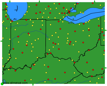
Weather observations and forecasts of more than 4000 airports (METAR and TAF reports).
The available stations are represented by yellow and red dots on the map.
Hover mouse over dot to see the name of the station.
Then click to see weather observations and forecasts.
To change the map : click on the green buttons with a black cross to zoom in, on the green button with a dash to zoom out, or on the green arrows for adjacent maps.