METAR-TAF
Airports :
Gary/Chicago International Airport
Gary, Indiana, United States
latitude: 41-37N, longitude: 087-25W, elevation: 590 ft
Current weather observation
The report was made 34 minutes ago, at 06:55 UTC
Calm wind
Temperature 63°F
Humidity 100%
Pressure 29.91 in. Hg
Visibility: 4 miles
Few clouds at a height of 200 ft
Scattered clouds at a height of 6000 ft
Scattered clouds at a height of 7000 ft
Scattered clouds at a height of 6000 ft
Scattered clouds at a height of 7000 ft
mist
METAR: KGYY 250655Z AUTO 00000KT 4SM BR FEW002 SCT060 SCT070 17/17 A2991 RMK AO2
Time: 02:29 (07:29 UTC)
Forecast
The report was made 1 hour and 49 minutes ago, at 05:40 UTC
Forecast valid from 25 at 06 UTC to 26 at 06 UTC
Wind 3 mph from the Southwest
Visibility: 3 miles
Few clouds at a height of 800 ft
Scattered clouds at a height of 7000 ft
Scattered clouds at a height of 7000 ft
mist
From 25 at 1400 UTC
Wind 10 mph from the West
Visibility: 6 miles
Scattered clouds at a height of 5000 ft
Scattered clouds at a height of 25000 ft
Scattered clouds at a height of 25000 ft
From 25 at 1800 UTC
Wind 9 mph from the Northeast
Visibility: 6 miles
Scattered clouds at a height of 5000 ft
Scattered clouds at a height of 25000 ft
Scattered clouds at a height of 25000 ft
TAF: KGYY 250540Z 2506/2606 23003KT 3SM BR FEW008 SCT070 FM251400 28009KT P6SM SCT050 SCT250 FM251800 04008KT P6SM SCT050 SCT250
Weather observations and forecasts of more than 4000 airports (METAR and TAF reports).
The available stations are represented by yellow and red dots on the map.
Hover mouse over dot to see the name of the station.
Then click to see weather observations and forecasts.
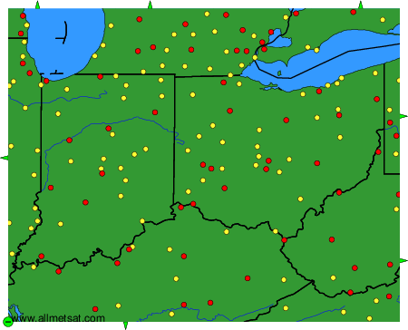
To change the map : click on the green buttons with a black cross to zoom in, on the green button with a dash to zoom out, or on the green arrows for adjacent maps.